4.12 How a River Carves a Valley
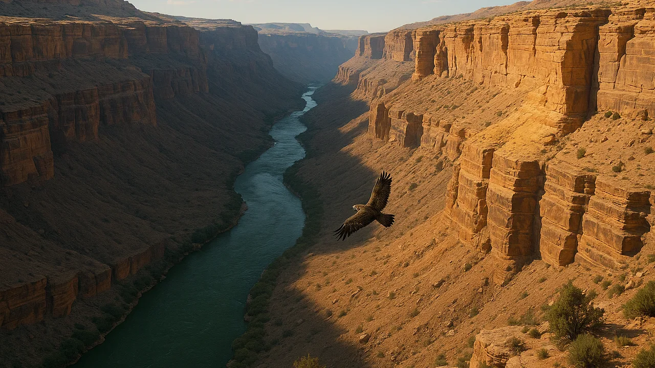
use evidence from rock layers and moving water to explain how a valley or canyon forms and how a landscape changed over time.
- I can use evidence from rock layers and fossils to explain how a landscape changed over time.
- I can describe how the order of rock layers and the fossils in them show what the landscape was like in the past and how it changed.
- I can explain how unusual patterns in rock layers, like canyons or rivers, show that Earth forces changed the landscape.
- I can explain that landscapes change over time.
- I can point out which parts of my explanation about landscape changes I need to support with evidence.
Phase 3: Make Sense
Warm-Up ~5 min
Do Now. Picture a river at the bottom of a deep valley. The same rock layers show on both valley walls, at the same height, like stripes.
Why do the same stripes show on both sides of the valley?
Instruction ~10 min
Rivers are slow but strong. A river carries sand and pebbles. They scrape the river bottom, like sandpaper. Each year the river cuts a tiny bit deeper. Over a very, very long time, it can carve a deep valley or even a canyon.
Worked example 1: matching walls. Malik looks at a drawing of a canyon. On the left wall, he sees red rock above gray rock. On the right wall, he sees the same red rock above the same gray rock. His explanation: the layers formed first as one sheet. Then the river cut down through them. The canyon is younger than the rock it cut.
Worked example 2: a river gorge. Picture a deep river gorge. Rock layers show on its steep walls, and a creek flows at the bottom. Moving water carved it over a very long time. Rivers in hilly cities also flow in valleys with steep hills on both sides. That is why our client’s town has hills next to the river.
Unusual patterns are clues. Rock layers form flat. In some mountain areas, layers are bent and tilted. Something must have pushed on them after they formed. A canyon, a tilted layer or a missing layer all tell us Earth forces changed the land.
Which parts need evidence? Priya says, “The river carved this valley.” She backs up each part. Matching layers show the rock was once joined. River pebbles show moving water. Our stream table showed water cutting channels.
Guided Exercises ~15 min
Build a quick model. Press three thin slabs of different-colored clay into a flat stack. Use a craft stick to slowly carve a “river channel” down the middle, a little at a time. Then look at the walls.
| Step | Left wall layers (top to bottom) | Right wall layers (top to bottom) | What we noticed |
|---|---|---|---|
| Shallow cut | |||
| Deeper cut | |||
| Deepest cut |
Independent Practice ~10 min
Think about our client’s valley.
Explain how the river valley near our client's town may have formed. Underline each part of your explanation that needs evidence, and name the evidence.
Closure ~5 min
Valleys and canyons are evidence that moving water changes the land, slowly but powerfully. Next, we explain the patterns we found on the maps.
Exit ticket: name one unusual pattern in rock layers. What does it tell us about how the landscape changed?
Teacher notes
Materials (per team): three colors of modeling clay or play dough, a craft stick or plastic knife, a tray, a canyon photo or drawing showing matching layers on both walls (a photo of a deep river gorge works well), CER organizers.
Setup: Pre-roll clay slabs about 1 cm thick. Optional: run the stream table from 4.07 over a sand pile for a live demo.
Listen for: “the canyon was always there” or “the rock layers formed after the canyon.” Ask which had to exist first. Keep explanations of what pushes rock layers general; plate movement is beyond grade 4.
Support / stretch: Give a labeled canyon diagram. Stretch: draw a canyon wall with one tilted layer and write its story.