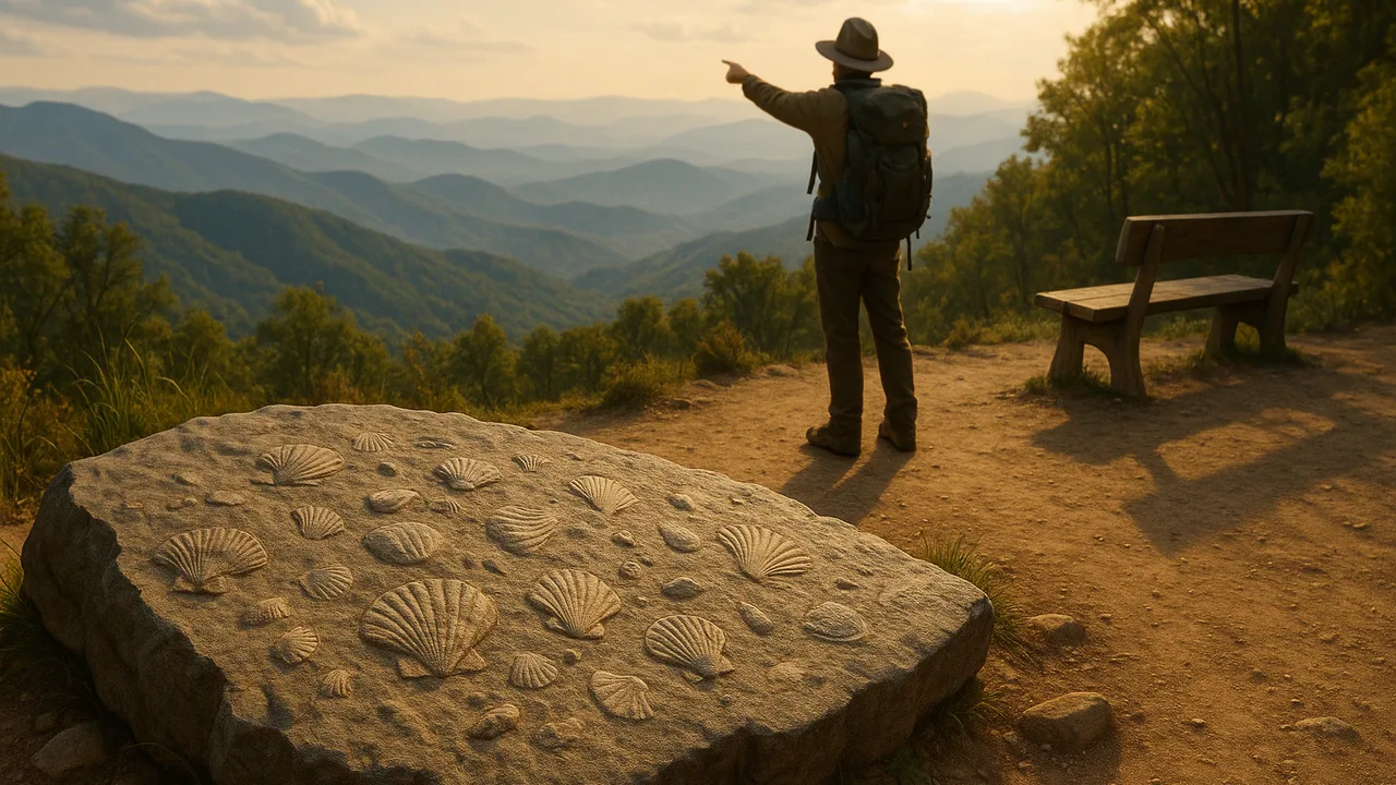
3.18 Prototype Stop 2: Ocean Fossils on a Mountain Ridge
organize and analyze fossil, rock, continent-shape and seafloor-age data to write a trail stop that explains the evidence that plates have moved.
- I can arrange the data so it is easy to analyze and interpret, like using charts, maps, or tables.
- I can analyze the data to find patterns and relationships, such as how the age of seafloor changes from the center to the edges of oceans or how similar fossils and rocks are found on different continents.
- I can use the data to explain how continents that share similar fossils and rocks were once connected and have moved apart.
- I can use the shapes of continents to show how they fit together like puzzle pieces, suggesting they were once joined.
- I can use patterns in the ages of oceanic crust to show how new seafloor forms at the center of oceans and gets older toward the edges.
Phase 4: Build
Warm-Up ~5 min
Do Now. Remember our unit phenomenon: fossils of sea animals lie in rocks high on mountain ridges, hundreds of miles from any ocean. Write the best explanation you have right now.
Seafloor rock is dated at many places across the Atlantic Ocean. Where do you predict the YOUNGEST rock will be?
Instruction ~10 min
Trail designers, Stop 2 is the most surprising stop. Visitors will not believe that continents move unless you show them the evidence. Your job is to organize the data so the pattern jumps out.
Four lines of evidence. 1. Fossils: the same land reptile, Mesosaurus, is found in both South America and Africa, and the same fern-like plant, Glossopteris, is found on several southern continents. 2. Rocks: matching rock types and mountain belts line up across oceans. 3. Shapes: the coasts of South America and Africa fit like puzzle pieces. 4. Seafloor ages: ocean crust is youngest at the mid-ocean ridge and older toward the edges.
Worked example 1: organizing the data. Priya’s team put the evidence in one table: data type, where it is found, and what pattern it shows. That made it easy to see that all four point the same way: these continents were once joined, and they have moved apart.
Worked example 2: rate × time. The Atlantic widens by roughly 2.5 cm per year, about as fast as fingernails grow. Malik asked, “How far is that in a million years?” 2.5 cm × 1,000,000 = 2,500,000 cm = 25 km. Over tens of millions of years, that adds up to an ocean.
The ridge connection. The ridge’s sea fossils formed in shallow seas long ago. Much later, when ancient continents collided, rock layers were squeezed, folded and lifted into mountain ranges. Plate motion carried ocean-floor sediment up into mountains. (We study the evidence of motion, not what moves the plates.)
Guided Exercises ~15 min
Organize the four kinds of evidence. Then read the seafloor data.
| Evidence type | Where it is found | Pattern it shows | What it suggests |
|---|---|---|---|
| Fossils | |||
| Rock types and mountain belts | |||
| Continent shapes | |||
| Seafloor ages |
Independent Practice ~10 min
Draft the visitor version of Stop 2.
Sketch the visual for Stop 2 in your format: a map, a puzzle model or a color-banded seafloor. Then write 3 sentences a visitor reads or hears. One must explain why sea fossils are on the ridge.
🔎 Mini case study: Mini case study: mapping the hidden seafloor ~6 min
For a long time, few people knew what the deep ocean floor looked like. In the 1950s, geologist and mapmaker Marie Tharp worked with Bruce Heezen at Columbia University. Ships had recorded ocean depths using sound echoes. Tharp turned thousands of those depth readings into careful drawings of the Atlantic floor.
She noticed a deep valley running down the center of the Mid-Atlantic Ridge. She thought it was a rift, where the seafloor was pulling apart. Many scientists doubted her at first, and so did Heezen. But more data, including earthquake locations along the ridge, matched her rift. Her maps became important evidence for the theory of plate tectonics.
Think about it: Why did Tharp’s map persuade people when an idea alone had not? What does that teach us about designing Stop 2?
Closure ~5 min
Stop 2 drafted. Next: water, the force that carves the valleys and moves every grain of sediment on our trail.
Exit ticket: which of the four kinds of evidence will convince a doubtful visitor most? Explain why.
How confident are you that you can I can analyze fossil, rock, shape and seafloor data to explain that continents have moved apart.
Teacher notes
Materials: world map outlines, scissors, colored pencils, a printed seafloor-age map (widely available from NOAA educational resources), calculators.
Setup: the 4-million-year figure in the quiz is a sample number for the mirror-pattern question, not a real measured site. Keep the rate at “roughly 2.5 cm a year”; real rates vary along the ridge.
Listen for: “the continents floated on the ocean”; “the fossils swam across.” Stay inside the boundary: if students ask WHY plates move, record the question on the Wonder Board for high school rather than teaching mantle convection.
Support / stretch: provide a partly filled evidence table. Stretch: calculate how long it would take to open a 4,000 km wide ocean at 2.5 cm a year (160 million years).