3.08 When Continents Fit Together: Shapes, Fossils and Rocks
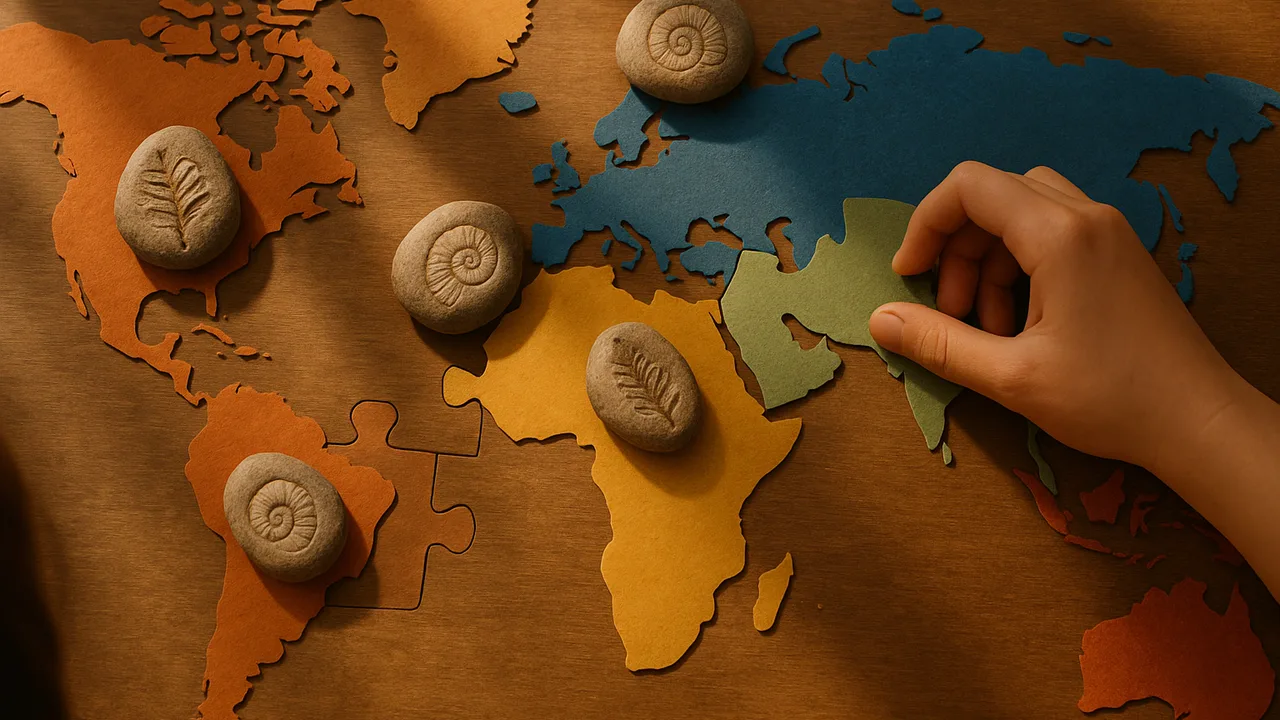
organize evidence from continent shapes, fossils and rock types into a map and use it to explain that the continents were once joined.
- I can organize data about where fossils and rocks are found, the shapes of continents, and features of the seafloor, including the ages of oceanic crust.
- I can arrange the data so it is easy to analyze and interpret, like using charts, maps, or tables.
- I can use the data to explain how continents that share similar fossils and rocks were once connected and have moved apart.
- I can use the shapes of continents to show how they fit together like puzzle pieces, suggesting they were once joined.
- I can use patterns in the ages of oceanic crust to show how new seafloor forms at the center of oceans and gets older toward the edges.
Phase 2: Investigate
Warm-Up ~5 min
Do Now. Look at a world map. Find the east coast of South America and the west coast of Africa. What do you notice?
The same small freshwater reptile is found as fossils in South America and in southern Africa, but nowhere in between. What is the best explanation?
Instruction ~10 min
Trail geologists, today you are evidence detectives. Each team gets paper cutouts of the continents, cut along their continental shelves, plus data cards.
Evidence 1: shapes. Try to fit the continents together like a puzzle. Cutting at the shelf edge, where the continent really ends underwater, gives a better fit than cutting at the beach.
Evidence 2: fossils. Color-code these fossil ranges. Mesosaurus, a small freshwater reptile: South America and southern Africa. Glossopteris, a seed fern: South America, Africa, India, Antarctica and Australia. Lystrosaurus, a land reptile: Africa, India and Antarctica. Cynognathus, a land reptile: South America and Africa.
Evidence 3: rocks and mountains. Old mountain belts and rock types line up across oceans. Rocks of the Appalachian Mountains in eastern North America match rocks in old mountains in Scotland and Norway.
Worked example 1: organizing data. Ava makes a table with one row per fossil and a column for each continent, marking X where it is found. Patterns pop out: Glossopteris crosses five continents.
Worked example 2: from pattern to claim. Jamal fits the southern continents together and colors the fossil ranges. The colored patches join into continuous bands. He claims: these continents were once one landmass and have since moved apart. That landmass is called Pangaea. It began breaking up about 200 million years ago.
Guided Exercises ~15 min
Fit the continents, then organize the evidence in this table. Mark X where each piece of evidence is found.
| Evidence | South America | Africa | India | Antarctica | Australia | Fits a joined map? |
|---|---|---|---|---|---|---|
| Mesosaurus | ||||||
| Glossopteris | ||||||
| Lystrosaurus | ||||||
| Cynognathus | ||||||
| Coastline fit |
Independent Practice ~10 min
Connect to our park.
A visitor asks, “How can a whole continent move?” Write two sentences for the guide that explain what the evidence shows, without guessing beyond the evidence.
Closure ~5 min
Shapes, fossils and rocks all point the same way. Next lesson, we investigate a different traveler: water.
How confident are you that you can I can use fossils, rocks and continent shapes as evidence that continents moved.
Exit ticket: which piece of evidence convinced you most that the continents were once joined? Explain why.
Teacher notes
Materials (per team): printed continent outlines that include continental shelves (several free classroom versions exist; preview yours), colored pencils, scissors, glue, a fossil data card listing the four fossils and their continents.
Timing (50 min): Do Now 4, mini-lecture 8, cut and fit 12, fossil table and coloring 12, guided questions 8, exit 6.
Listen for: “What makes them move?” Praise the question, but stay inside the MS-ESS2-3 boundary: our job is the EVIDENCE that plates moved, not the mechanism (no mantle convection). Also listen for “continents float on water.”
Support / stretch: Give pre-cut continents. Stretch: research one more fossil or rock match and add it to the table with a reliable source.