3.15 Four Ways to Tell a Trail’s Story: Competing Guide Designs
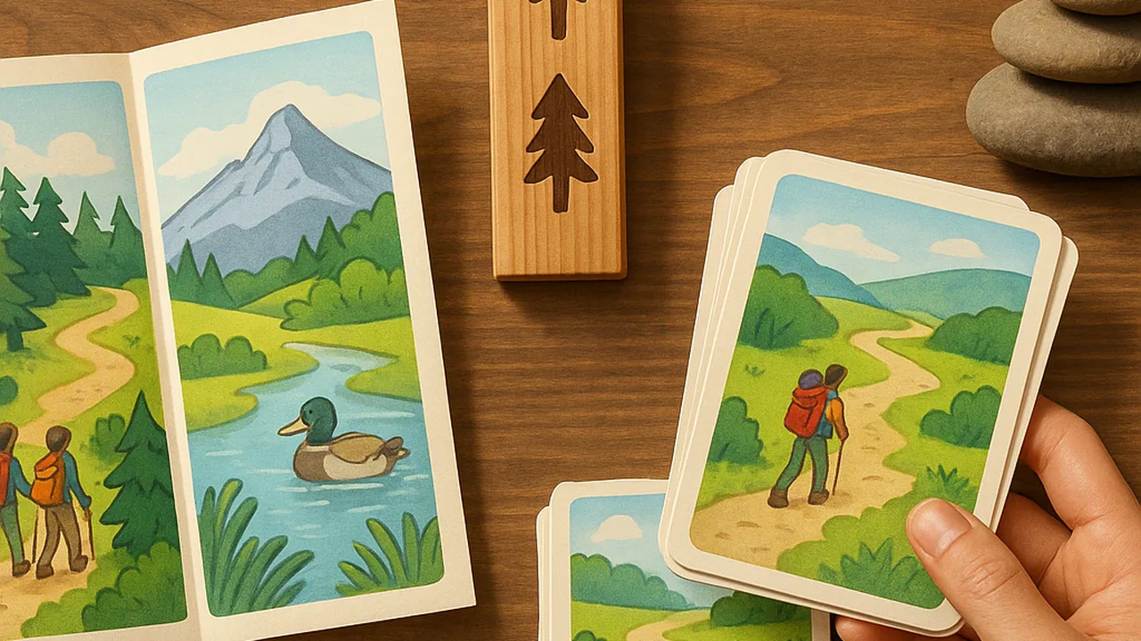
sketch four competing trail-guide formats and explain how each one could meet the park’s needs.
- I can identify scientific ideas that relate to the problem and each possible solution.
- I can explain how each design solution could solve the problem.
- I can define the criteria for a solution that meet the needs of the people or groups affected by the problem.
- I can explain who the solution is meant to help and use criteria to compare different solutions, including using numbers when needed.
Phase 4: Build
Warm-Up ~5 min
Do Now. Think of the last museum, zoo or park you visited. How did it explain things to you: signs, a map, an audio guide or a model? Which one actually held your attention, and why?
Which statement best describes the park's problem?
Instruction ~10 min
Trail designers, welcome to the Build phase. In Investigate and Make Sense, you figured out how rocks form, how plates move continents, and how water shapes the land. Now the park’s education staff needs that science in a form visitors will actually use on the trail.
Define the problem as a system. The system includes the trail, its rocks and stream, the visitors, the staff who maintain the guide, and the weather. Some things are outside our control, like how long visitors stay or how much rain falls. A good design works inside that system.
Our class criteria (what the guide must do). Each stop explains accurate evidence for the rock cycle, plate motion or the water cycle. A visitor aged 10 or older understands each stop in about three minutes. The guide works for visitors with different needs, such as low vision or limited English. Our constraints (the limits). A small budget, no damage to rocks or plants, it must survive weather, and staff must be able to update it.
Engineers never build the first idea. They develop several competing designs, then compare them fairly. Today every team sketches four formats: sign panels, a QR audio tour, a printed field guide and a model display at the trailhead.
Worked example 1: sign panels. Mei’s team sketches a weatherproof panel at each stop, with a drawing of the rock layers and three short sentences. Strength: everyone sees it, no phone needed. Weakness: panels cost money, can fade, and are hard to read for visitors with low vision.
Worked example 2: a QR audio tour. Diego’s team puts a small code on a post at each stop. Scanning it plays a two-minute recording. Strength: audio helps visitors who cannot read small print, and recordings are easy to update. Weakness: many parks have weak cell signal, so the audio may not load. That is a scientific and practical issue the team must check.
Learn from similar problems. Before choosing, engineers ask how others solved similar problems. Museums, zoos and historic sites all use these four formats. What works there may or may not work on a muddy trail.
Guided Exercises ~15 min
Work with your team. Fill in the table as you sketch each format.
| Format | How it tells the story | One strength | One weakness | Science idea it shows best |
|---|---|---|---|---|
| Sign panels | ||||
| QR audio tour | ||||
| Printed field guide | ||||
| Model display |
Independent Practice ~10 min
Explain each design on your own.
Pick two of the four formats. For each, explain how it would solve the park's problem. Name one criterion it meets well and one constraint it struggles with.
What do you need to find out before choosing? Write two questions, such as “Is there cell signal on the trail?”
Closure ~5 min
Four designs, each with trade-offs. Next lesson, you will score them fairly with a tool engineers use: the decision matrix.
Exit ticket: which format do you predict will win, and which criterion makes you think so?
How confident are you that you can I can explain how each design solution could solve the problem.
Teacher notes
Materials: the class criteria and constraints chart from Investigate, blank sketch paper, the four-format table, photos of trail signs or museum displays if available.
Setup: if your Investigate list worded the criteria differently, use the class wording; the four here are a model. Give 15 minutes for sketches, about 4 per format.
Listen for: teams falling in love with one format before sketching the others; constraints mixed up with criteria; ignoring the park as part of the system.
Support / stretch: give a sketch frame with labeled boxes. Stretch: invent a fifth hybrid format and explain which weakness it fixes.