4.02 Project Brief and Wonder Board: Eyes on the Forest
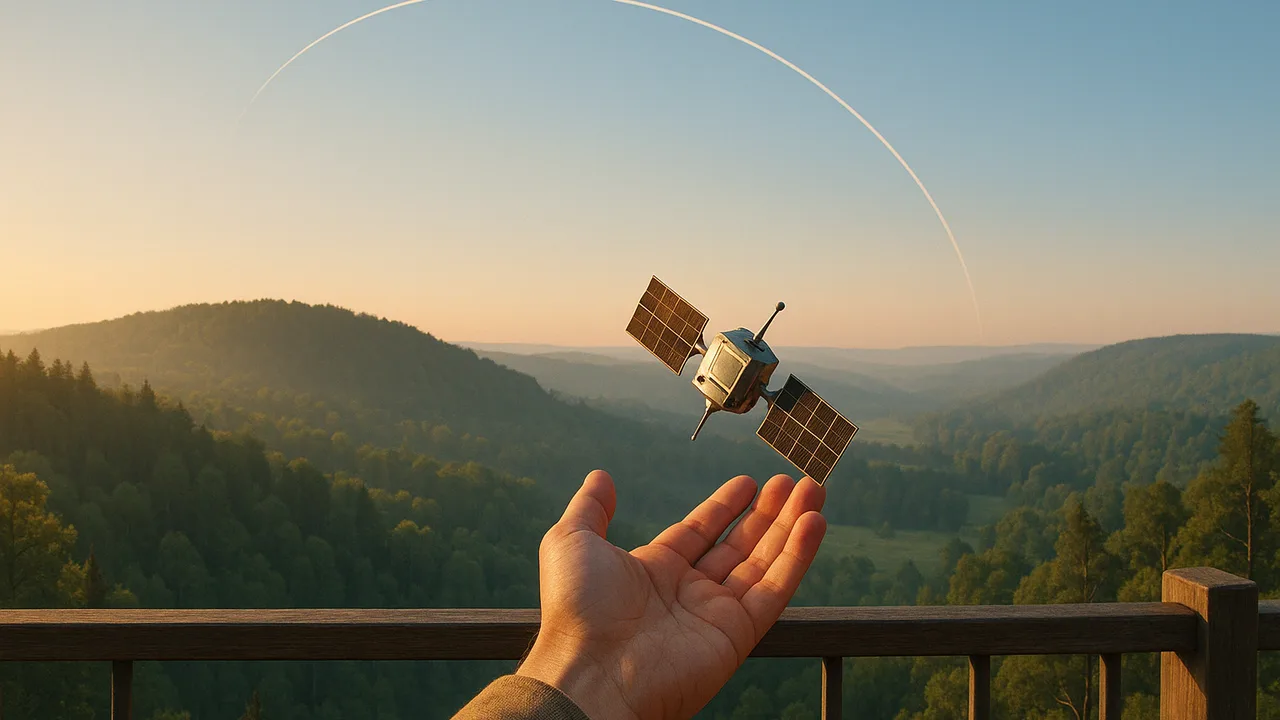
Eyes on the Forest: Choosing a Fire-Watch Orbit
Which orbit, or combination of orbits, should a wildfire-watch satellite system use to see new fires often enough, in enough detail and quickly enough, and how do we know?
The mystery: Rockets from a coastal launch site carry satellites into orbits where they circle Earth for years with no engine running, and some of them spot wildfire hot spots from hundreds of kilometers up: why don’t they fall? Client: a regional forest-protection agency’s remote-sensing team.
Questions we will figure out together in this unit:
- Why does a satellite need to go about 7.5 km/s?
- Do higher satellites move faster or slower?
- Can one satellite watch the whole region all the time?
- How small a fire can a satellite see from 700 km?
- How do we know our spreadsheet gives the right answer?
- Is there really no gravity where astronauts float?
- How much space junk is up there, and does a new satellite add to it?
- How quickly can images reach firefighters?
describe the fire-watch satellite problem as an engineering problem, identify the system an orbit simulation must model, its variables and the scientific relationships it uses, and list the criteria and constraints.
- I can identify the complex real-world problem being modeled in a computer simulation, including its criteria and constraints.
- I can describe the system being modeled, including its boundaries.
- I can identify which variables I can change in the simulation and explain the scientific principles or relationships the model uses.
- I can clearly define the two objects in a system that interact through gravitational or electrostatic forces.
Phase 1: Spark
Warm-Up ~5 min
Do Now. Read the client’s letter below. Underline every number and circle every need the agency names.
Which is the best statement of the engineering problem?
Instruction ~10 min
The client’s letter. “To the physics class: Our regional forest-protection agency watches a large, fire-prone region of forest, grassland and small towns. A new fire is easiest to stop while it is small, so we want satellite images that show new fires quickly and in enough detail to send crews to the right place. We are joining a partnership that will pay for a small fire-watch satellite system. Before we vote, we need an independent recommendation: which orbit, or combination of orbits, should it use, and why? — The Remote-Sensing Team”
Driving question. Which orbit, or combination of orbits, should a wildfire-watch satellite system use to see new fires often enough, in enough detail and quickly enough, and how do we know?
Worked example 1: the two interacting objects. Every orbit in this project is one interaction: Earth (mass 5.972 × 1024 kg) pulls on the satellite, and the satellite pulls back on Earth with an equal force. Inside our system boundary: Earth’s mass, the satellite’s mass, the distance between their centers and the satellite’s velocity. Outside it, and left out of our first model: the Moon’s and Sun’s pulls, the thin upper atmosphere, and Earth’s rotation beneath the orbit.
Worked example 2: what our simulation will be. We cannot launch test satellites, so we will build a computer simulation: a spreadsheet orbit model. Before building it, Jamal lists its parts.
| Part of the simulation | For our orbit model |
|---|---|
| Real-world problem | Choose orbits that let satellites see new fires often and in detail |
| Criteria | Revisit time, resolution (detail), latency (delay to firefighters), coverage of the region |
| Constraints | Budget, number of launches, satellite mass, responsible use of space |
| Variables we can change | Altitude, number of satellites, orbit type (polar or equatorial) |
| Scientific relationships | F = GMm/r2; Fnet = mv2/r; v = 2πr/T |
| Boundary | Earth and one satellite; no drag, circular orbits |
Why the problem matters. Qualitatively: small fires can be put out by a few crews, while large fires threaten homes, forests and air quality far away. Quantitatively: from 4.01, a satellite 824 km up passes over a region about twice a day, so a fire that starts just after a pass could burn for up to about 12 hours before that satellite sees it.
Teams and roles. Teams of four rotate roles each phase: Mission Manager (timeline and criteria list), Orbit Modeler (builds the spreadsheet), Data Analyst (checks the model against published data), Communicator (writes and presents to the client).
Guided Exercises ~15 min
Work in your new team. Build the Wonder Board as you go.
Independent Practice ~10 min
Write the team’s problem statement and need-to-knows.
Write a problem statement for the client in three or four sentences. Name who is affected, what the system must do, two criteria and one constraint, and why a simulation is the right tool.
List five need-to-knows (for example: How fast must a satellite move at 700 km? How much detail is lost from farther away?). Star the two your team thinks matter most.
Closure ~5 min
The project is launched. Next, we measure the strength of Earth’s gravity ourselves with a pendulum.
Exit ticket: name the real-world problem our simulation models, two variables you can change in it, and one scientific relationship it uses.
Teacher notes
Materials: printed client letter, chart paper for the Wonder Board and system diagrams, role cards.
Setup: the agency and region are generic; the partnership is fictional. If a local forestry, emergency-management or weather office can send a short video, it strengthens the launch.
Listen for: problem statements with no measurable goal; treating G or Earth’s mass as a design choice; leaving gravity out of the system.
Support / stretch: provide the frame “The agency needs ___ so that ___, within ___.” Stretch: list what a better simulation would add and how each addition would change the predictions.