4.09 Plan Night: Reading a Landscape
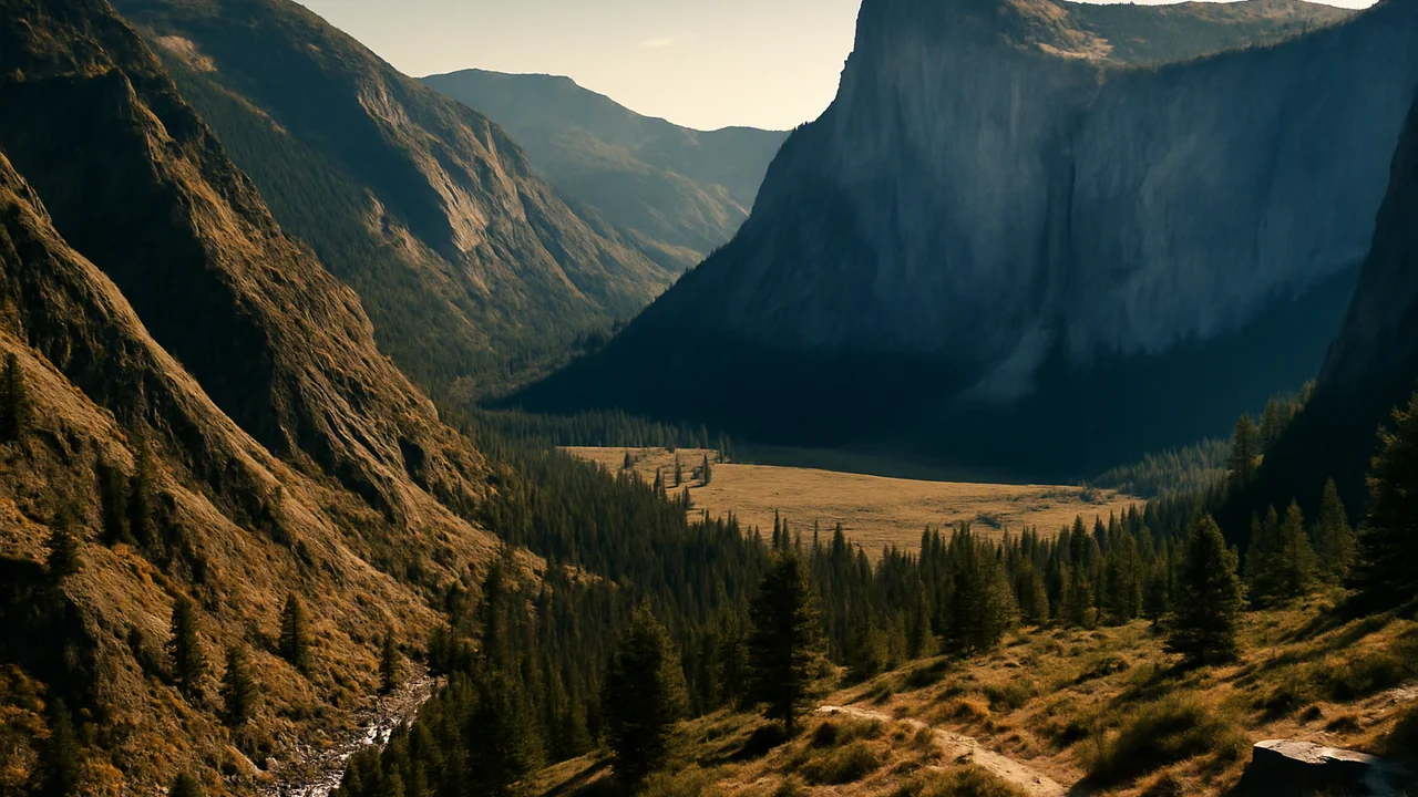
explain, with data from my own investigations and at least two calculations, how internal and surface processes shaped a landscape and how it is changing now, and present our tested slope plan to the conservation district.
- I can describe how the properties of water are connected to their effects on Earth materials and surface processes.
- I can use my model to show how Earth’s internal and surface processes, acting over different time and space scales, lead to the formation and change of continental and ocean-floor features.
- I can use analyzed data to describe how feedback between two Earth systems works and explain whether the feedback is positive (increasing the original change) or negative (decreasing the original change).
Phase 5: Prove It
Warm-Up ~5 min
Do Now. Reread the question board from 4.01. Put a check next to every question your team can now answer with evidence, and a star next to one you still find hard.
A slope has μ = 0.7 and an angle of 30°. What is its factor of safety when dry?
Instruction ~10 min
The question. How did one landscape come to look the way it does, and how is it changing now? Choose the burned slope and creek of our project, a glacier-carved granite valley, a coastal mountain slope with landslides, an alluvial fan in a desert basin, a foothill river, or another landscape your teacher approves. Your explanation uses the rocks (4.01), running water (4.03), slope stability and feedbacks (4.04), the properties of water (4.05) and your landscape model (4.06), and connects them to the plate boundaries of Unit 3. It becomes the background section of the district’s slope plan.
What to include.
- The rocks. What rock is the landscape made of, how did it form, and how did it reach the surface? Use the rock cycle.
- The builders. Which internal processes raised it (uplift at a plate boundary, volcanism)?
- The sculptors. Which surface processes are wearing it down (frost wedging, chemical weathering, rivers, glaciers, waves, landslides)? Use data from at least two of your labs as evidence, and name the property of water behind each.
- A feedback. Identify one change to the surface that causes changes in another system, such as fire leading to debris flows, or a dam trapping sand so that beaches erode, and say whether it is positive or negative.
- Scales. Show processes at three time scales: a single storm, thousands of years, and millions of years.
Two calculations. For example: a discharge and sediment load (Q = 20 × 1.5 × 1.2 = 36 m3/s; at 500 mg/L that is 18 kg/s); a factor of safety (FS = μ cos θ / sin θ; for μ = 0.7 on a 30° slope, 0.7 × 0.866 / 0.5 ≈ 1.21, dropping to about 0.73 if pore water removes 40% of the pressing force); an ice-expansion volume (1.09 times the water volume); a surface-area ratio; or the percent reduction from your storm test.
A worked paragraph (a glacier-carved granite valley). Claim: “Water in its frozen form did most of the work of shaping the valley.” Evidence: “The valley has a U-shaped cross-section, unlike the V-shaped river canyon below it, and our calculation shows that water in a crack expands about 9% when it freezes; talus slopes of angular blocks lie below the cliffs.” Reasoning: “Glaciers widen and deepen valleys by plucking and grinding, which makes a U-shape, and repeated freezing splits the granite along its joints, so ice both carved the valley and keeps supplying the rock falls that widen it today.”
Care with people. If you write about landslides, rock falls or debris flows that hurt people, state the human impact accurately and respectfully before the analysis.
Limits. Say what you cannot know from your evidence: how well a tray of sand stands for a real river or slope, how uncertain the field data are, or how the timing of past glaciations is dated.
Plan night. Each team sets up its version 2 storm tray and runs one live storm for the ‘district board’ (staff, family or invited guests). Then each student gives a three-minute presentation of the landscape reading and answers one question about the evidence.
Guided Exercises ~15 min
Planning and drafting checks. Work alone, then compare with your peer reviewer.
Independent Practice ~10 min
Finish and present.
Submit your final explanation (1,000–1,300 words) with the labeled landscape model, lab data, two calculations, one feedback, sources and a limits paragraph. Then give your three-minute presentation and record the question you were asked and your answer.
Project task: The Burned Slope Plan
The conservation district asked for a tested slope and stream protection plan and a clear reading of the landscape. Deliver two products. (1) Your team’s version 2 storm tray and test report, which must show the class criteria: at least 60% less sediment and 30% less runoff than the bare control, no major unintended effect, a measure crews could install before the rains, and a cost within 50 sample district points; the report gives means, ranges and the revised test plan. (2) Your own written explanation, Reading a Landscape (1,000–1,300 words), with (a) the rock type and its origin through the rock cycle; (b) the internal processes that raised it; (c) the surface processes wearing it down, with data from at least two of this unit’s labs and the property of water behind each; (d) at least two calculations; (e) one feedback between Earth’s systems; (f) a labeled model or annotated sketch showing processes at three time scales; (g) a limits paragraph. Cite Earle’s Physical Geology and any USGS or park source you use. Hand-drawn models are fully acceptable.
Submission workflow
- Stage 1 — Plan. Your landscape, your central claim, an evidence table (lab data, sources, calculations), and a sketch of your model with its three time scales.
- Stage 2 — Peer-reviewed draft. A partner rechecks your calculations, checks that your lab data are used as evidence and not just described, and marks any process named without a mechanism. Submit their notes and your revision plan.
- Stage 3 — Final explanation. 1,000–1,300 words with the model, lab data, calculations, sources and a limits paragraph.
- Stage 4 — Slope plan. Your team’s version 2 storm tray and test report with each criterion marked passed or failed.
- Stage 5 — Presentation. Three minutes, live or recorded, followed by one question about your evidence.
How it is scored
| Criterion | What proficient looks like |
|---|---|
| Water and surface processes (HS-ESS2-5) | Explains how the properties of water drive the weathering, erosion and deposition in the landscape, using data from at least two labs, and judges how far the data can be applied to the real landscape. |
| Internal and surface processes across scales (HS-ESS2-1) | Model shows processes at three time scales and how uplift and erosion together shaped the landscape. |
| Feedbacks (HS-ESS2-2) | Identifies one feedback as positive or negative, with each link explained and supported by data, and notes the uncertainty in those data. |
| Quantitative reasoning | Two calculations correct, with units and assumptions stated. |
| Slope plan (HS-ETS1-3) | Test data with means and ranges show which criteria were met; trade-offs and unintended effects are named. |
| Explanation and sources | Clear, well-organized mechanism for each claim; limits stated honestly; specific evidence cited from Earle, USGS or park sources and from class data. |
Closure ~5 min
The plan is presented, geoscientists. Next class: the unit checkpoint. After that, your 3DX field trip.
Exit ticket: which question from the Wonder Board can you now answer? Write the question and your evidence-based answer.
How confident are you that you can I can explain how internal and surface processes shaped a landscape, using my own data.
Teacher notes
Timing: Poly ran this task over three sessions. Here it is one showcase period; assign Stages 1–3 as homework across the build phase, with peer review in a short workshop, and use this period for the live storms and presentations.
Materials: version 2 storm trays, rain rack, collection cups, rubric copies for the board, a device for recorded presentations.
Setup: invite staff or family members to play the district board; a video call works. Keep everything generic: no real district or named place is the client.
Listen for: processes named without mechanisms; feedbacks with no direction; claims that the tray predicts real tonnages.
Support / stretch: give a five-part outline with sentence starters and allow 700–900 words with the same evidence requirements. Stretch: add a sediment budget for the creek before and after the fire.