3.01 A Stream Channel Bent by a Fault
The Fault Crossing
How can we design a water-main crossing that survives the next large earthquake on a major strike-slip fault, and explain to the public, with evidence, why the fault is there and how it moves?
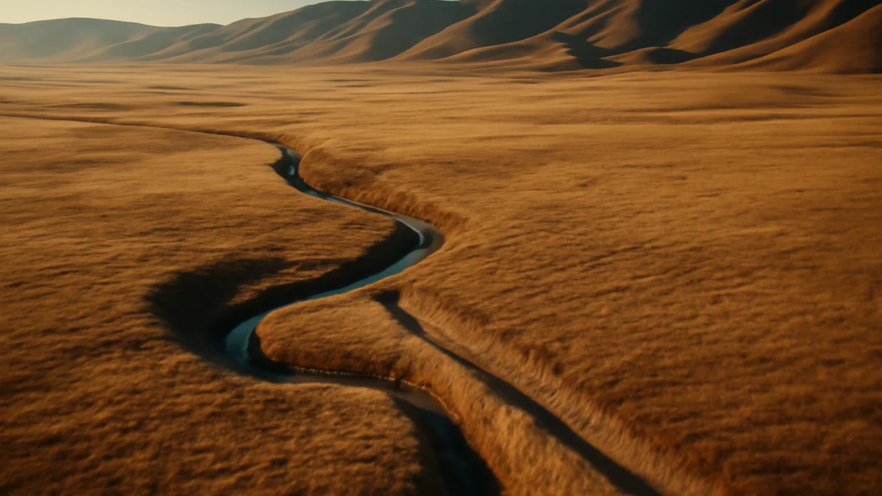
The mystery: A small stream flowing across a dry plain meets a major continental strike-slip fault, turns sharply to run along it for about 130 m, and then continues downhill: the stream channel has been offset by the fault.
evaluate the evidence that continents and ocean floor move, and use plate tectonics to explain why ocean crust is young and continental crust can be very old.
- I can explain how the ages and arrangement of crustal rocks on Earth’s surface are related to plate tectonic activity and the formation of new rocks where plates move apart.
- I can describe patterns in the evidence, such as continental crust being older than oceanic crust, the oldest continental rocks being at the centers of continents, and oceanic crust getting younger closer to mid-ocean ridges, and explain how these patterns support the explanation for the ages of crustal rocks.
Phase 1: Spark
Warm-Up ~5 min
Do Now. Look at the aerial sketch on the board. A small stream runs straight down a dry hillside, meets a long, straight crease in the ground, turns sharply right, runs along the crease for about 130 m, and then turns again and continues downhill. Write one explanation for the strange path, and one observation that could test it.
Where would you expect to find the OLDEST rock on the floor of the Atlantic Ocean?
Instruction ~10 min
The phenomenon. On a dry plain, a small stream flows out of a range of hills straight toward a major continental strike-slip fault. At the fault it turns sharply right, runs along the fault for about 130 m, and then turns again to continue downhill. The stream did not choose that path. The ground on the far side of the fault has been carried sideways, dragging the channel with it. Something is moving the crust here, and it is moving fast enough to bend a creek. (Reading: Steven Earle, Physical Geology, 2nd ed., chapters 9–11, CC BY 4.0.)
An old idea with missing evidence. In 1912 Alfred Wegener proposed that the continents had once been joined and had drifted apart. His evidence: the coastlines of South America and Africa fit like puzzle pieces; identical fossils, such as the freshwater reptile Mesosaurus and the plant Glossopteris, appear on continents now separated by oceans; and rock belts and ancient glacial scratches line up when the continents are put back together. Most geologists rejected the idea because Wegener had no believable mechanism. The evidence that changed their minds came from the ocean floor.
Evidence from the sea floor. After the Second World War, ships mapped the ocean floor with echo sounders. Marie Tharp and Bruce Heezen drew a mountain chain, the mid-ocean ridge, running through every ocean with a rift valley along its crest. Magnetometers towed behind ships then found stripes of rock magnetized alternately in the normal and reversed direction of Earth’s field, arranged symmetrically on both sides of the ridges. In 1963 Fred Vine and Drummond Matthews explained them: new crust forms at the ridge, records the magnetic field as its lava cools, and is carried away on both sides while the field reverses from time to time. The sea floor is a tape recorder.
Worked example 1: a spreading rate (illustrative numbers). The most recent magnetic reversal happened about 0.78 million years ago. Suppose the boundary between normal and reversed rock lies 39 km from the ridge axis. The rate is 39 km / 0.78 million years = 3,900,000 cm / 780,000 years = 5.0 cm per year on each side. Your fingernails grow a few centimeters per year, about the speed of the plates.
The ages of crust. Drilling and magnetic dating show that ocean-floor age increases steadily away from the ridges, and the oldest ocean floor anywhere is only about 180 million years old. Continental rocks, by contrast, reach about 4.0 billion years (Unit 2), and the oldest are found in the stable centers of continents. Plate tectonics explains the difference. Ocean crust is dense basalt; it forms at ridges and, when it grows old, cold and heavy, it sinks back into the mantle at subduction zones, so it never gets very old. Continental crust is thicker and less dense granite-like rock; it is too buoyant to sink, so it survives, gets deformed and grows at its edges.
Worked example 2: how old is this sea floor? A drill core 600 km from a ridge spreading at 3 cm per year on each side should be about 60,000,000 cm / 3 cm per year = 20 million years old. If the fossils in the sediment just above the basalt are 20 million years old too, two independent methods agree.
Motion measured today. GPS stations now measure plate motion directly. Across the fault in our phenomenon, the plate on one side moves past the plate on the other at roughly 5 cm per year, and the main fault takes up most of that motion while smaller faults nearby take up the rest. Over a human lifetime of 80 years, 5 cm per year adds up to 4 m. Your questions for this unit should aim at the creek: How fast does the fault move? Why is the boundary here? What happens when it moves suddenly?
Guided Exercises ~15 min
Work in pairs. Show every calculation with units.
Independent Practice ~10 min
Start your Fault Notebook.
Sketch a cross-section of an ocean basin with a mid-ocean ridge in the middle and a continent on each side. Label where the youngest and oldest ocean floor lie and where the oldest continental rocks lie. Then write a paragraph explaining the pattern of crustal ages using the words ridge, subduction, density and buoyant.
The stream channel is offset 130 m. If the fault moved 5 cm per year and the stream kept its path the whole time, how many years would the offset take? Write one reason the real answer might differ.
Closure ~5 min
The crust moves, and old ocean floor is recycled while continents survive. Next class we meet the client who needs to build across this moving ground.
How confident are you that you can I can evaluate the evidence for plate motion and explain why ocean crust is young and continental crust can be old.
Exit ticket: in two sentences, explain why the oldest ocean floor is about 180 million years old while continental rocks reach about 4 billion years.
Teacher notes
Materials: an aerial sketch or generic photo of an offset stream channel, a printed world map of earthquakes and plate boundaries, chart paper for the question board, calculators, devices for the USGS map.
Setup: post the question board for the whole unit; 3.02 sorts it into need-to-knows and 3.09 returns to it. Earle, Physical Geology 2nd ed., chapters 9–11 support this lesson. Keep the fault generic: the stream is “a stream channel offset by the fault.”
Listen for: “the ocean is younger than the land” (the water is not the crust); “plates float on liquid magma” (the mantle is solid rock that flows slowly); “the creek just curved around a rock.”
Support / stretch: give a unit-conversion card (1 km = 100,000 cm). Stretch: compute the full spreading rate (both sides) and the width of ocean that would open in 180 million years at 5 cm per year on each side.