3.05 Building a Continental Margin at a Plate Boundary
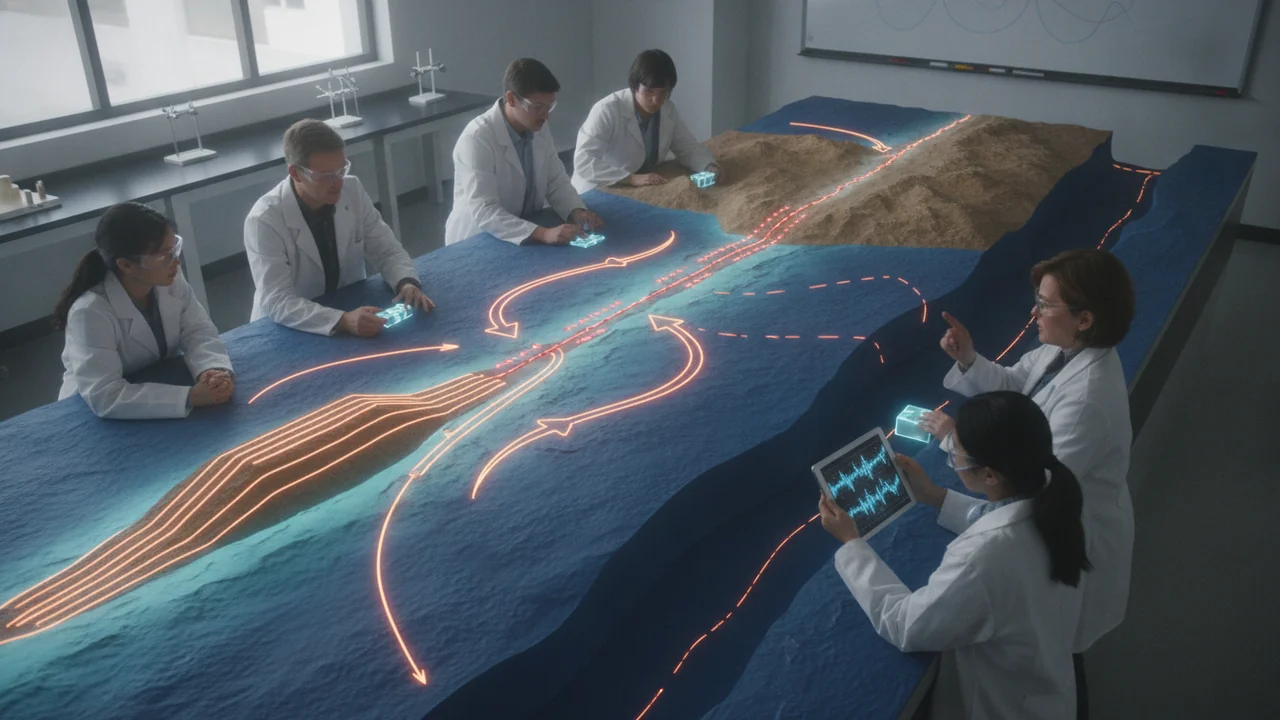
model how subduction and then transform motion built a continental margin’s mountains, valleys and faults, and compare processes that act over seconds, thousands of years and tens of millions of years.
- I can identify and describe examples of continental features (like mountains, valleys, and plateaus) and ocean-floor features (like trenches, ridges, and seamounts), including where they are found.
- I can show the relative sizes or extents of continental and ocean-floor features using a geographic scale in my model.
- I can describe how internal processes (such as volcanism and tectonic uplift) and surface processes (such as weathering and erosion) shape Earth’s features, and explain the time scales over which these processes act.
- I can explain how internal processes like volcanism, mountain building, and tectonic uplift build up Earth’s surface over time, and how surface processes like weathering and erosion wear it down.
- I can describe how internal and surface processes interact and affect each other, such as how mountain building can change weather patterns and influence erosion rates.
- I can relate the rate of change in Earth’s features to the time scales of the processes involved, identifying which features change slowly or quickly based on the processes acting on them.
- I can use my model to show how Earth’s internal and surface processes, acting over different time and space scales, lead to the formation and change of continental and ocean-floor features.
Phase 3: Make Sense
Warm-Up ~5 min
Do Now. A range of granite peaks stands inland of a coast, with a broad flat valley between it and a range of jumbled coastal hills. Granite crystallizes slowly deep underground. Write one question about how granite that formed kilometers down ended up as mountain peaks.
Granite with large crystals formed at the surface as a lava flow.
Instruction ~10 min
Explore first: the lab. Squeeze some ‘crust’ and watch what it builds. (Reading: Earle, Physical Geology, chapters 10 and 12.)
Lab: Sand-Box Model of a Compressing Plate Boundary. Question: how do layers of crust respond when they are pushed together, and what landforms and structures form? Materials: a clear plastic storage box or long shoebox, a stiff cardboard wall that fits the box’s width, dry sand and flour (or colored sand) in separate cups, a ruler, a phone camera, a tray for spills, goggles.
- Pour alternating 5 mm layers of sand and flour into the box until the pile is 3 cm deep, smoothing each layer flat. Photograph the side view.
- Place the cardboard wall at one end and push it slowly and steadily into the layers, 1 cm at a time.
- After each 2 cm, photograph the side view and measure the height of the highest point and the distance from the wall to the first fault (break in the layers).
- Continue until the wall has moved 8 cm. Sketch the final structures and label folds, faults and the ‘mountain’ surface.
- Gently tap the box to model erosion of the top surface, and observe how the inside structures are exposed.
| Wall movement (cm) | Maximum height (mm) | Distance from wall to first fault (mm) | Number of faults visible |
|---|---|---|---|
| 0 | 30 | — | 0 |
| 2 | |||
| 4 | |||
| 6 | |||
| 8 |
Name the ideas: a margin built at a plate boundary. Many continental margins record how two or three plates met there, and they change through time. A well-studied example has three stages, which you will model.
Stage 1: subduction (roughly 150 to 30 million years ago). An ocean plate sank beneath the continent. As the slab went down, water released from it lowered the melting point of the mantle above it, and magma rose into the crust. Most of it cooled slowly underground as enormous bodies of granite that together form a batholith. Volcanoes stood on top, a volcanic arc, but they have since eroded away, exposing the granite as a mountain range. Seaward of the arc, sediment and slices of sea floor were scraped off the sinking plate and crushed together into an accretionary wedge, now jumbled coastal hills. Between the arc and the trench, a basin collected sediment eroded from the mountains: today’s broad valley.
Stage 2: the ridge arrives (about 30 million years ago). Out to sea lay a spreading ridge, and beyond it another oceanic plate moving parallel to the coast. As the subducting plate was used up, parts of the ridge reached the trench. Where the far plate touched the continent, the two plates were not converging head-on; they slid past each other. Subduction stopped along that stretch and a transform boundary formed. As more ridge was consumed, the transform lengthened into the major strike-slip fault of our phenomenon. Remnants of the old plate still subduct farther along the margin, feeding a chain of volcanoes there.
Stage 3: today. Where the strike-slip fault bends, the plates squeeze together and push up a mountain range across the bend; where it steps the other way, the crust pulls apart and a basin sinks. Notice how the ages fit HS-ESS1-5: the ocean crust of the old plate was destroyed, while the continent’s granite and wedge rocks survive.
Different scales of time and space.
- Seconds: an earthquake slips the fault by meters in seconds.
- Thousands of years: at 35 mm/yr, the stream channel’s 130 m offset took about 3,700 years.
- Millions of years: 35 mm/yr for 1 million years is 35 km of offset. Major strike-slip faults have moved rocks on one side hundreds of kilometers since they formed.
- Surface processes compete: mountains rise only if uplift beats erosion. A range rising 5 mm/yr and eroding 2 mm/yr (illustrative values) grows 3 mm/yr, or 3 km in a million years; one eroding faster than it rises shrinks. Uplift also changes weather: high ranges catch rain on their windward side, which speeds erosion there.
Worked example: when will two cities pass each other? City A sits on the oceanic-plate side of the fault and City B on the continental side, 560 km apart along the fault. At 35 mm/yr the gap closes in 560,000 m / 0.035 m/yr = 16 million years; at the full 50 mm/yr plate rate, about 11 million years. The model assumes steady motion in a straight line, only an approximation, but it shows the scale.
Guided Exercises ~15 min
Use your sand-box data and photos.
Independent Practice ~10 min
Write up the sand-box lab.
Claim: how does the crust respond to compression? Use your photographs and height measurements as evidence, name the structures that formed, and relate the model to the range pushed up where the fault bends. Then name one thing the model leaves out by running so fast, and one source of error (uneven layers, pushing speed, friction with the box walls).
Closure ~5 min
The margin was built in stages, by processes from seconds to tens of millions of years. Next class we pull the interior, the ages and the margin into one model.
How confident are you that you can I can model how subduction and transform motion built a continental margin and compare processes at different scales.
Exit ticket: name one landform on the margin, the internal process that built it, the surface process wearing it down, and the time scale of each.
Teacher notes
Timing: Poly ran this workshop over two 50-minute periods. Day 1: the sand box and measurements; day 2: the three-stage margin model and scales.
Materials (per group): clear box or shoebox, cardboard wall, sand, flour or colored sand, ruler, phone camera, tray, goggles.
Alternative: fold and cut a layered stack of colored paper or modeling-clay slabs by hand and photograph each stage, or analyze the teacher’s photo sequence of the sand box.
Content note: the three-stage history follows a well-documented continental margin, described generically. Ages are rounded.
Listen for: “granite peaks are old volcanoes”; “mountains just keep growing”; confusing a fault (a break) with a fold (a bend).
Support / stretch: give the three panels as outlines to label. Stretch: estimate how much rock was eroded off the batholith if granite crystallized about 8 km down and is now at the surface.