locate the places in a Missouri case on maps of Missouri, the United States and the world, analyze how a flood-control plan and a farm-price law affected tenant farmers, and predict the consequences when institutions fail to meet a group’s needs.
Instruction
Every historical question begins with where. To locate a place well, do more than put a dot on a map: say what it is next to, what river or boundary defines it, and where it sits in the state, the nation and the world. This lesson practices that skill on a Missouri case, and then uses the map to ask how laws and institutions treated the people who lived there.
Locate the case. The Missouri Bootheel is the low country in the southeast corner of the state. The Encyclopedia of Arkansas places its southern boundary roughly along Pemiscot Bayou. Find Mississippi County and New Madrid County on a map of Missouri; they lie along the Mississippi River. Across that river from a Missouri levee at Birds Point is Cairo, Illinois, the city the levees were built to protect. Charleston, Missouri, is about twelve miles west of the riverfront levee. Sikeston and Poplar Bluff are two other Missouri towns in the story, and U.S. Highways 60 and 61 run through the region. Now zoom out. On a map of the United States, find Missouri, Illinois and the Mississippi River; on a world map, follow that river to the Gulf of Mexico, and name the ocean and continent it belongs to. A good answer to “where?” moves between these scales.
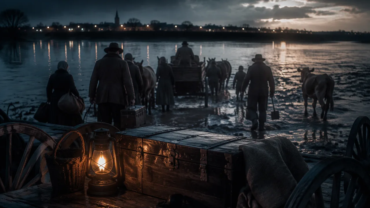
A plan and a law. After the great flood of 1927, a high setback levee was built in the Bootheel to create a zone where the river could spill if it rose again. In January 1937 the Army Corps of Engineers announced it would use that zone to relieve pressure on the levees at Cairo. The historian Jarod Roll reports that about twelve thousand tenants and sharecroppers, ninety-five percent of the people living there, got three days’ notice to rescue household goods, tools and livestock. On January 25 the Corps dynamited the levee. That is a government policy and its effect on a group: people with the least land were asked to carry the cost of protecting others. A second policy worked more quietly. The Agricultural Adjustment Administration, begun in 1933 to raise crop prices by limiting production, paid landowners. Roll explains that this gave cotton planters both a way and a reason to replace tenants with wage laborers. The Supreme Court struck the first AAA down in 1936, and a 1938 replacement gave tenants stronger claims to the payments, yet many planters hired wage workers anyway. Between 1936 and 1941 the Bootheel’s tenancy rate fell from 77 percent to 64 percent. A law written to help farmers had large side effects on a group it did not name.
When institutions fail a group’s needs. A need is something people cannot do without: shelter, notice, a chance to earn a living. An institution fails to meet a need when its rules or decisions leave that need unmet. On January 10, 1939, more than 1,500 men, women and children, Black and white, camped along Highways 60 and 61 near Sikeston after landowners moved to replace tenants. The State Historical Society of Missouri records that they were forced out after about a week. State Health Commissioner Harry Parker declared the camps a “menace to public health” because they lacked clean water and sanitary toilets, and ordered the Highway Patrol to remove them; the largest replacement camp, called “Homeless Junction,” was on swampy ground in the spillway in New Madrid County that had been flooded two years earlier. The federal Farm Security Administration then made emergency grants and relocation loans and built more than six hundred homes in nine settlements by January 1941, at least one in every Bootheel county, but six were for white families and three for African American families although Black leaders had led the protest, and the program did not aim to make the residents landowners. Each institution met some needs and left others.
Predict the consequence. The standard asks you to predict what can follow when an institution fails. Use a four-step chain: place (locate it), decision (what was decided), group (who bore the effect) and gap (the need left unmet), then state a likely consequence and the evidence that makes it likely. Short notice for a flood predicts the loss of belongings. Payments that go only to landowners predict displacement of tenants. A health order with no place to send people predicts new camps in worse conditions. Each prediction is checked by what actually happened.
📖 Read for this lesson
The reading opens over the lesson; close it to come back to exactly where you were. The checks below draw on it.
Formative check
Work through these before moving on. They are not graded — they tell you whether the standard below has landed yet.
Missouri standard: 9-12.AH.1.G.C
Which statement correctly locates the places in this case?
Missouri standard: 9-12.AH.1.G.C
Following the Mississippi River south from Missouri, you reach the of Mexico, which borders the continent of North .
Missouri standard: 9-12.AH.1.GS.A
The first Agricultural Adjustment Administration paid landowners to limit production. According to Roll, what side effect did this have on tenant farmers?
Missouri standard: 9-12.AH.1.GS.C
The Corps gave the people of the spillway three days’ notice before dynamiting the levee in January 1937. Which consequence is the most reasonable prediction from that decision?
Missouri standard: 9-12.AH.1.GS.C, 9-12.AH.1.GS.A
The federal Delmo Homes program fully met the needs of the families who led the 1939 roadside protest.
How confident are you that you can locate a case on maps at three scales, analyze how a policy affected a group, and predict what follows when an institution fails to meet needs?
Practice
Work these on paper or in your notebook, then open Check your answer. Aim for all of Fluency and Application; try at least one Challenge.
Printable version: this unit’s practice workbook (PDF)
Fluency
Build speed and accuracy with the core skill.
- In which corner of Missouri is the Bootheel?
Check your answer
Answer: The southeast corner. - Which Illinois city were the 1937 levee decisions meant to protect, and across the river from which Missouri place was the levee dynamited?
Check your answer
Answer: Cairo; Birds Point. - About how many tenants and sharecroppers were given three days’ notice in January 1937, and what share of the people living there were they?
Check your answer
Answer: About 12,000; ninety-five percent. - By how many percentage points did the Bootheel tenancy rate fall between 1936 and 1941?
Check your answer
Answer: 13 percentage points (77 percent to 64 percent).77 − 64 = 13. - Name the two highways along which families camped in January 1939.
Check your answer
Answer: U.S. Highways 60 and 61.
Application
Use the skill in context. Show your reasoning.
- If 12,000 tenants and sharecroppers made up 95 percent of the residents of the threatened stretch, about how many people lived there in all?
Check your answer
Answer: About 12,600.12,000 ÷ 0.95 ≈ 12,632. - Write the four-step chain (place, decision, group, gap) for the 1937 levee decision.
Check your answer
Answer: Place: Mississippi County, Missouri, across the river from Cairo. Decision: the Army Corps of Engineers used the setback zone and dynamited the levee. Group: tenants and sharecroppers. Gap: only three days’ notice to save belongings. - Name one need the Delmo Homes met and one need they left unmet.
Check your answer
Answer: Met: housing (more than 600 homes in nine settlements). Unmet: land ownership, because the program did not aim to make residents landowners; also equal treatment, since six settlements were for white families and three for African American families. - Predict a consequence of the state’s January 1939 order to clear the camps when no place had been found for the families, and give the evidence.
Check your answer
Answer: Likely consequence: new camps in conditions as poor or worse. Evidence: the largest replacement camp, Homeless Junction, was on swampy spillway land, and the demonstrators had been dumped in the woods.
Challenge
Stretch problems. Expect to think before you write.
- In 150 words, analyze how the first AAA and the 1938 law affected tenant farmers in the Bootheel. Include the tenancy figures.
Check your answer
Answer: Model answer: payments went to landowners, giving planters a reason to replace tenants with wage labor. The 1938 replacement guaranteed tenants stronger claims, yet many planters hired wage workers anyway, and tenancy fell from 77 to 64 percent between 1936 and 1941.
Review
Keep earlier skills sharp.
- Name the continent and the body of water at the mouth of the Mississippi River.
Check your answer
Answer: North America; the Gulf of Mexico. - What New Deal agency, begun in 1933, paid farmers to limit production and raise crop prices?
Check your answer
Answer: The Agricultural Adjustment Administration.
Mapping a Missouri Case: The Bootheel, the 1937 Floodway, a Farm-Price Law and the Roadside of 1939
Jarod Roll, “Out Yonder on the Road: Working Class Self-Representation and the 1939 Roadside Demonstration in Southeast Missouri,” Southern Spaces (16 March 2010), short marked quotations; State Historical Society of Missouri, Rural Revolt in Missouri Collection (S0427) finding aid; Encyclopedia of Arkansas, “Missouri Bootheel,” summarized with two short quotations; all retrieved 9 Nov. 2026 · SLS original summaries, with short marked quotations from Southern Spaces (Roll), the State Historical Society of Missouri finding aid and the Encyclopedia of Arkansas
Why this reading. The lesson’s skills are geographic and civic at the same time: find the places on a map, then trace what a law or an institution did to the people who lived there. The place is the Missouri Bootheel, and the case is a chain of decisions — a flood-control plan, a farm-price law, a state health order, a federal housing program. Below are a place list to locate, short marked quotations from a historian’s account (Jarod Roll, Southern Spaces, 2010), a finding aid from the State Historical Society of Missouri, and a geographic summary from the Encyclopedia of Arkansas. What to look for: at each step, who decided, who was affected, and whose need went unmet.
1. Locate these places (use any atlas or online map)
Every place below appears in the sources in this reading. Find each one on a map of Missouri and its neighbors first, then on a map of the United States, and write one sentence for each saying what it is next to.
| Place or feature | What the sources say |
|---|---|
| The Bootheel | The lowland in the southeast corner of Missouri; the Encyclopedia of Arkansas places its southern boundary roughly along Pemiscot Bayou and notes that Crowley’s Ridge begins near the state line. |
| Mississippi County and New Madrid County, Missouri | Counties of the Bootheel along the river; the same encyclopedia gives the tenancy rate in both as ninety percent when cotton planters bought land there in the mid-1920s. |
| Charleston, Missouri | A town twelve miles west of the riverfront levee that was dynamited in 1937 (Roll). |
| Cairo, Illinois | The city the levees were meant to protect in 1937 (Roll; Encyclopedia of Arkansas). |
| Sikeston and Poplar Bluff, Missouri | Sikeston is near the highways where families camped in January 1939; Poplar Bluff is near the land where they later founded Cropperville (State Historical Society of Missouri). |
| U.S. Highways 60 and 61 | The two roads along which the camps were set up (Roll; State Historical Society of Missouri). |
Then, on a world map, trace the Mississippi River from Missouri to the ocean it empties into, and name the continent, the country and the major body of water at the end. The sources do not say this; the map does.
2. The flood plan of 1937 (law and policy)
In our words from Roll’s account: after the great flood of 1927 a high setback levee was built in the Bootheel to create a zone where the river could spill if it rose again. In January 1937 the Army Corps of Engineers announced that it would open that zone to relieve pressure on the levees at Cairo. Roll puts the notice given to the people living there like this:
When the army announced that it would use the spillway, it gave the twelve thousand tenants and sharecroppers who made up ninety-five percent of those who lived there three days notice to rescue household goods, tools, and livestock.
On January 25, the Corps dynamited a gaping hole in the riverfront levee, rattling windows in Charleston, twelve miles to the west, and sending a cascade
The Encyclopedia of Arkansas says that on that date the Corps “dynamited the fuse plug across from Cairo at Birds Point,” after a first expedition was met by gunfire from the Missouri side, and that the people living between the front-line and setback levees fled quickly and lost property. Roll draws the civic point:
Now in 1937, the government had flooded the poorest people on the land in order to protect others from a bigger flood.
3. A farm-price law and its side effects
Roll explains that the Agricultural Adjustment Administration (AAA), begun in 1933 to raise crop prices by limiting production, gave cotton planters a way and a reason to replace tenants with wage laborers, because the payments went to the landowner. A Supreme Court ruling struck down the first AAA in 1936; a replacement law in 1938 was written to give tenants stronger claims to the payments. Roll reports that many planters hired wage workers anyway:
Between 1936 and 1941, the Bootheel’s tenancy rate—which measured the number of those who did not own land but still worked the land on which they lived—fell from 77 percent to 64 percent
4. The roadside and the state’s response (January 1939)
The State Historical Society of Missouri’s finding aid for the “Rural Revolt in Missouri” collection summarizes the event:
In January 1939, over 1500 tenant farmers in Southern Missouri protested against tennant farmer evictions by camping out along highways 60 and 61 in southern Missouri, near Sikeston. After a week of camping out along the highways, the protesters were forced out of the area. The displaced sharecroppers raised enough money to buy a plot of land near Poplar Bluff, Missouri, forming a village called
Roll adds what state officials did. In his words:
declared the camps a “menace to public health” because they lacked clean water and sanitary toilets.
ironically on the very same ground that the federal government had flooded two years earlier.
5. The federal response
Crucially, the FSA also started issuing emergency cash grants to the demonstrators and processing their applications for relocation loans.
provided over six hundred single-family homes for landless farmers in nine separate settlements, at least one in every Bootheel county. The settlements were segregated with six reserved for white families, and three for African American families.
Questions
- Make a three-column table: the decision, the institution that made it, and the group it affected most. Fill one row each for 1937, the farm-price law, the state health order and the federal housing program.
- Which of the four decisions was made for a group by an institution that did not consult it, and which was made by the group itself? What difference did that make?
- The quotations call the 1937 plan a protection and an injustice. Name the people each description fits, and say which institution’s need was met and whose was not.
- Write a prediction: if a state or federal agency again decides who bears the cost of a flood, what consequence would you expect for the people who had least notice? Support it with two items from this reading.
Sources: Jarod Roll, Out Yonder on the Road, Southern Spaces, 16 March 2010 (southernspaces.org); Rural Revolt in Missouri Collection (S0427), State Historical Society of Missouri (files.shsmo.org); Missouri Bootheel, Encyclopedia of Arkansas (encyclopediaofarkansas.net)